Passports
Passports enable linking existing or newly developed administrative agendas with the geographic information system to obtain spatial information on registered elements.
The options of the geographic information system’s expansion to support other administrative agendas with links to a respective territory:
- property management
- utility lines
- management of vegetation
- municipal movable property
- and many more
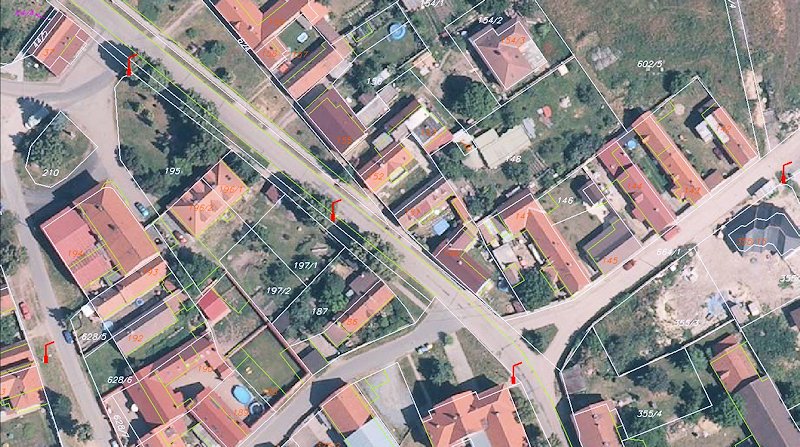
A public lighting passport – marked on the map
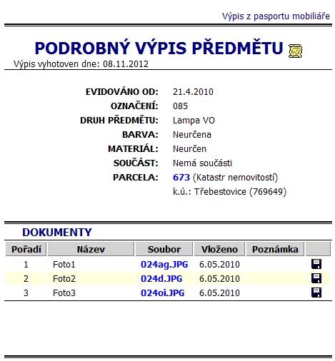
Public lighting passports – element sheet
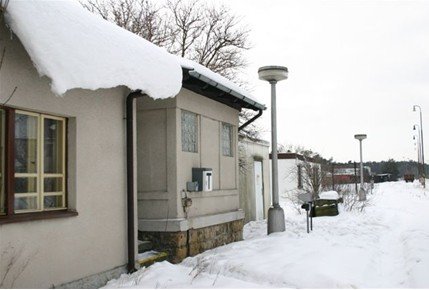
Public lighting passports – accompanying photo