Technical map
The content of a technical map is governed by the Decree No. 233/2010 Coll., and its elements are divided into layers for reasons of clarity. Thus, by its importance, a technical map is an indispensable part of the administration of any modern municipality.
Individual layers of a technical map according to the Decree No. 233/2010 Coll. include the following:
- topography (e.g. boundaries, types of surfaces, waters, vegetation)
- survey points
- transport infrastructure (e.g. rail axes)
- underground structures (e.g. utility routes)
- technical infrastructure (e.g. water pipes, power lines)
- altimetry (e.g. characteristic points, contours)
All elements of a technical map must be identified both in position and in altitude. A component part of the elements are also metadata such as the origin of the elements, information on the person who processed them, the date of their origin etc.
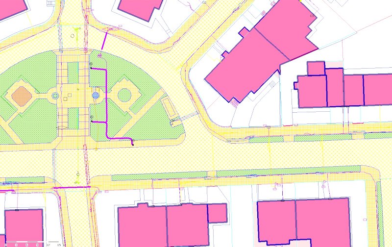
A technical map
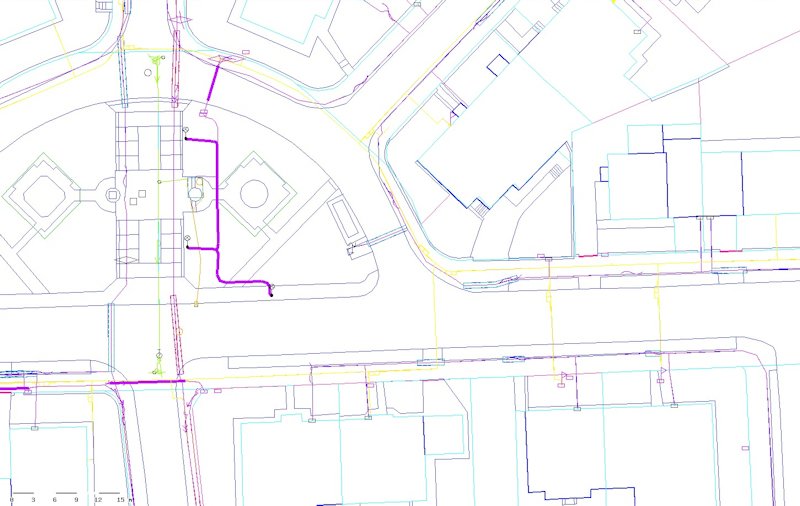
A technical map